Assam and N.E. States Chart Manufacturer,Supplier and Exporter in India
Product Code : EL-PSM-10150
Lab Instruments Manufacturers manufactures the Assam and N.E. States Chart in-house at our own India facility, supplying it to schools and colleges teaching geography, and as an OEM/private-label item to distributors and exporters across India and internationally.
What This Chart Covers
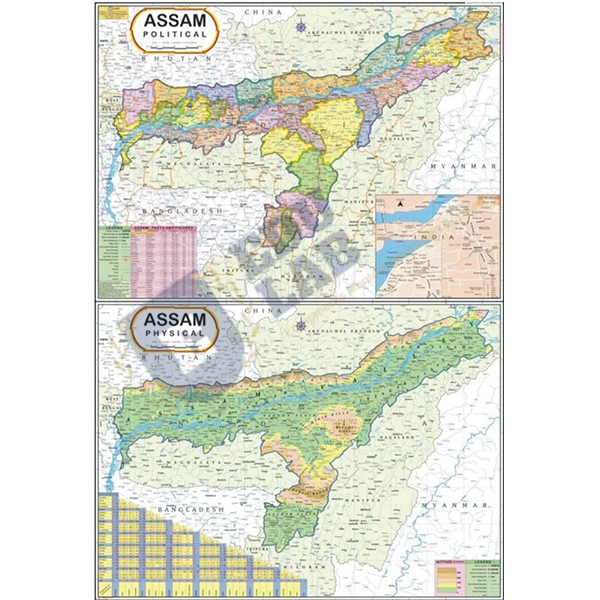
This chart maps Assam together with the neighbouring North-Eastern states as a single regional political chart, showing current state boundaries, political features, capital cities, and important towns across the region. It measures 70 x 100cm, printed in multicolour on 80 gsm map litho paper, laminated on both sides with hot-seal polyester film, and fitted with first-quality plastic rollers top and bottom. Available in English.
Chart details
| Size | 70 x 100cm |
| Printing | multicolour |
| Paper | 80 gsm map litho paper |
| Lamination | hot-seal polyester film |
| Rollers | first-quality plastic rollers top and bottom |
| Language | English |
Typical Classroom Use
Schools and colleges use this chart to teach the geography of India's North-Eastern states as a connected region, since the individual states there are closely interlinked geographically, complementing our other Political State Maps, which cover individual states elsewhere in India one chart at a time.
Manufactured In-House
This chart is printed, laminated, and fitted with rollers at our own India production facility. Manufacturing in-house means our team controls print quality and durability at every stage, and can produce custom sizes, languages, or bulk classroom sets for a specific school order or export shipment without waiting on an outside supplier.
Frequently Asked Questions
What does this chart show?
Assam together with the neighbouring North-Eastern states, showing current political boundaries, capital cities, and important towns.
What size is this chart?
70 x 100cm, printed on laminated map litho paper.
Can this be supplied as an OEM/private-label order?
Yes, it can be produced and packed under a buyer's own brand name and item codes for distributors and exporters ordering in bulk.
Related Charts
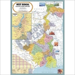
Eastern India is completed with West Bengal Political Map Chart and Bihar Political-cum-Physical Map Chart. The full set of Political State Maps also covers the south and north, and physical topics sit in Geography Charts; all are part of Charts, with Tenders for tender supply.
Last updated: October 2026.